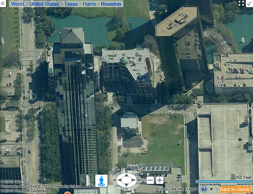
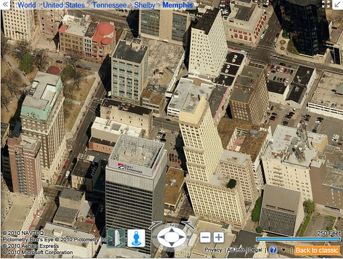
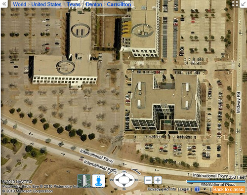
As you may know, the “Escher Effect” is caused by the digital stitching-together of quantities of aerial photos, some of which are taking at different times, and from different angles from one another. The varying angles result in different planes of perspective in the pictures, and when the photos are lined together at their edges it makes the buildings and other tall objects appear to be leaning at impossible angles to one another.
The famous mathematical artist, M.C. Escher, was renowned in part because of the optical illusion illustrations he did involving architecture when matched up at physically impossible angles — so, these online mapping photos of buildings appear to be a sort of real-world version of Escher’s illustrations, hence the “Escher Effect” name.
Google Maps previously had quite a bit of this going on, as I’ve documented in the past, and they subsequently cleaned up the Escher Effect.
I can tell that Bing Maps (or their aerial images provider) has worked to clean up the Escher Effect in a lot of the more-populated cities where there are taller buildings and where people are more likely to notice the distortion occuring.
But, it’s still easy to find some examples now, before the rest are cleaned-up:
Tags: aerial images, aerial photos, Bing Maps, Escher Effect, online maps


 ShareThis